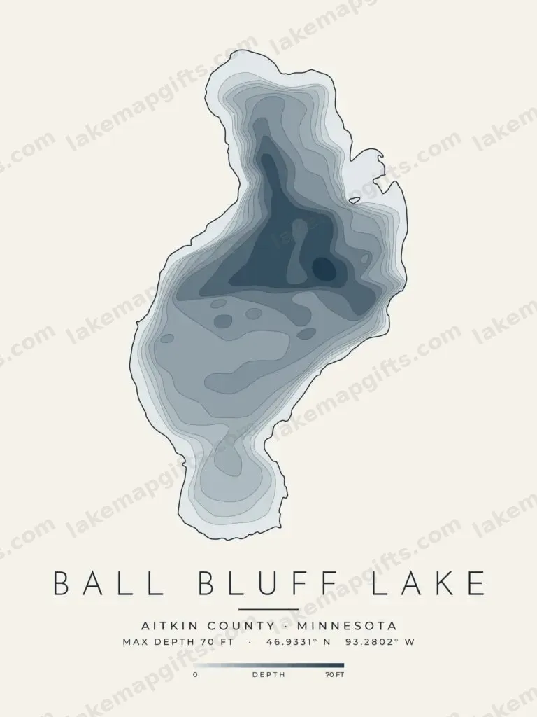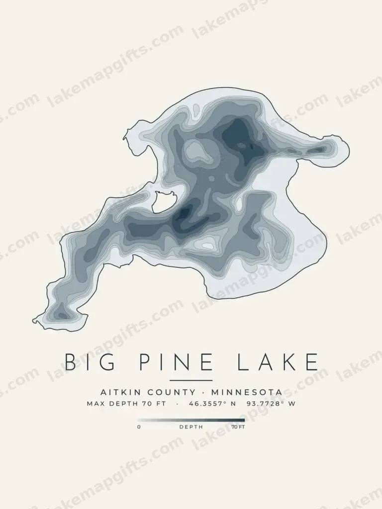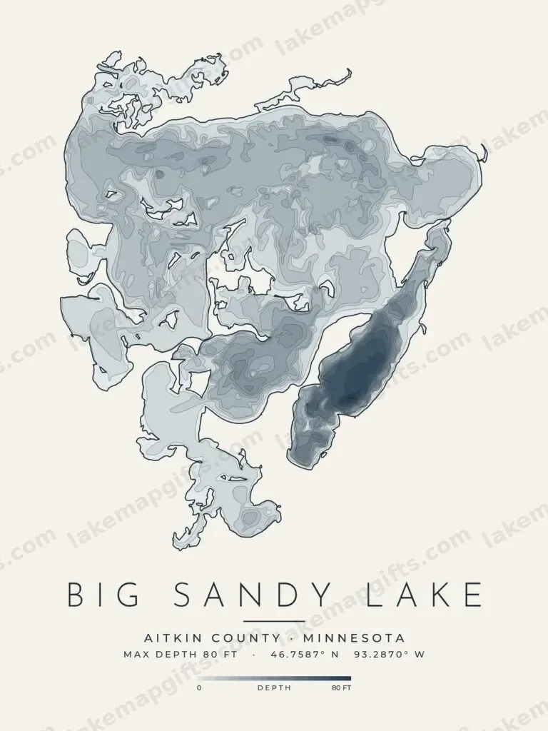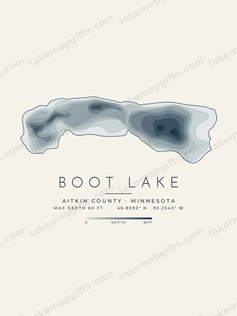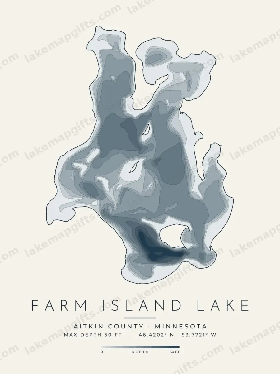
Farm Island Lake lies in Aitkin County, Minnesota. The Minnesota Department of Natural Resources surveyed its basin and drew 71 depth contour lines, from the shoreline down to the deepest water at about 50 feet.
Each Farm Island Lake design here redraws those survey lines as clean art, set with the lake’s name, county and maximum depth: a minimal contour map, in light and dark versions, and a shaded depth-map print.
They are printed to order on shirts, mugs, posters, canvas prints, stickers and postcards by our print-on-demand partners, and make a gift for anyone with a cabin, a boat or a lifetime of summers on Farm Island Lake. The maps are decorative and not for navigation.