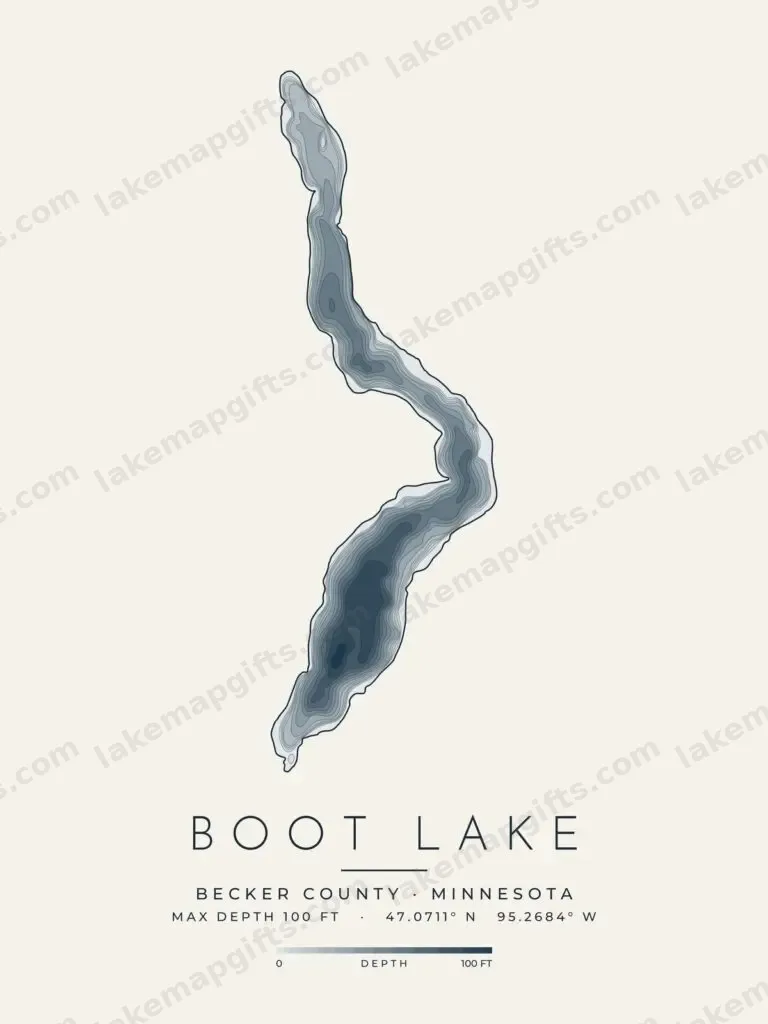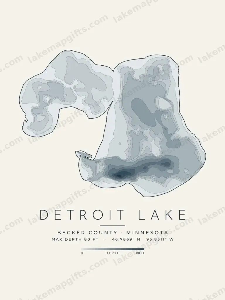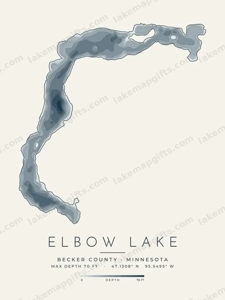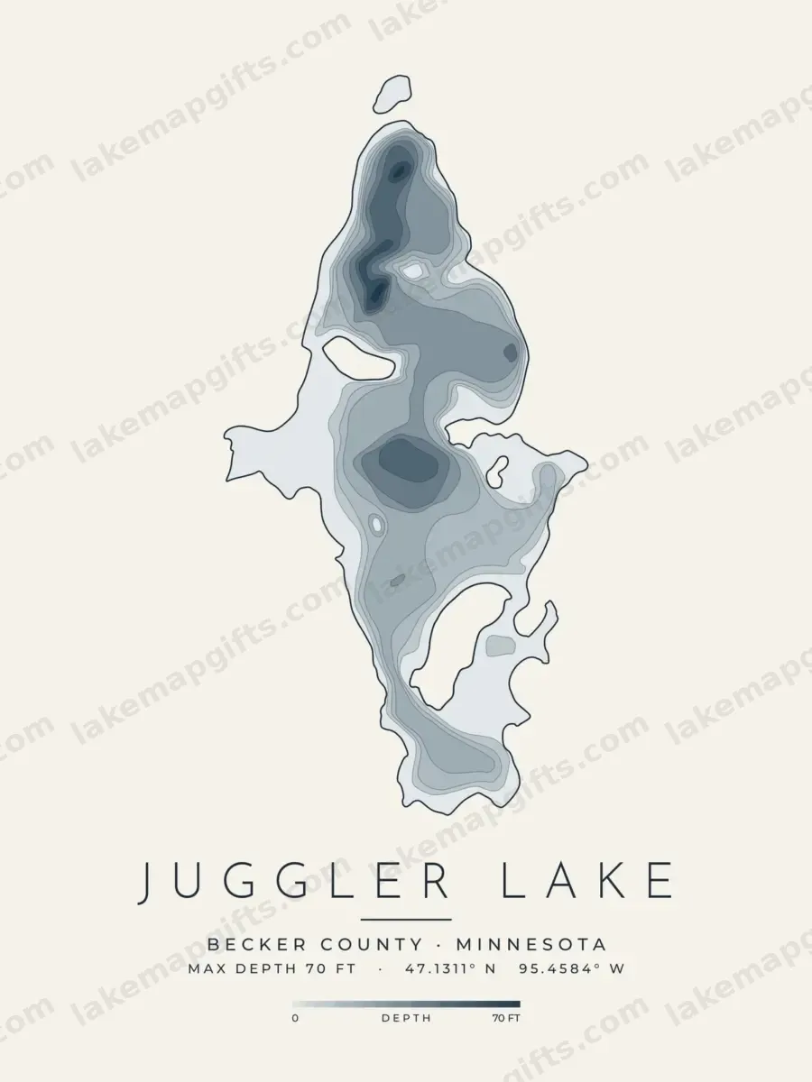
Juggler Lake depth map, Becker County, Minnesota

Juggler Lake

Deepest point
70 ft
State
Minnesota

Contours: Minnesota DNR lake bathymetry contours

Gifts for this lake are on their way.

Art for gifts, not a navigation chart.

Juggler Lake lies in Becker County, Minnesota. The Minnesota Department of Natural Resources surveyed its basin and drew 24 depth contour lines, from the shoreline down to the deepest water at about 70 feet.

Each Juggler Lake design here redraws those survey lines as clean art, set with the lake’s name, county and maximum depth: a minimal contour map, in light and dark versions, and a shaded depth-map print.

They are printed to order on shirts, mugs, posters, canvas prints, stickers and postcards by our print-on-demand partners, and make a gift for anyone with a cabin, a boat or a lifetime of summers on Juggler Lake. The maps are decorative and not for navigation.

Questions about Juggler Lake

How deep is Juggler Lake?

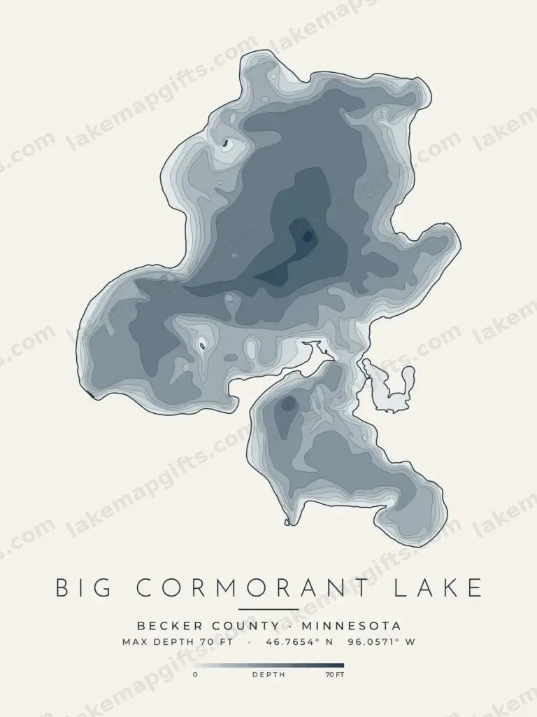
Juggler Lake is recorded at 70 feet at its deepest point in the survey data our designs are drawn from. On the shaded depth map the deepest basin is the darkest area. Survey figures can be decades old, so treat them as history, not a current sounding.

Where is Juggler Lake?

Juggler Lake is in Becker County, Minnesota.

Where do the Juggler Lake contour lines come from?

The shoreline and depth contours are traced from Minnesota DNR lake bathymetry contours, then redrawn as three designs: a light contour map, a dark contour map and a shaded depth map. How the maps are made explains the process.

Can I use the Juggler Lake map for boating or fishing?

No. The designs are decorative art drawn from survey data that may be old, and they leave out what a chart needs. On the water, use proper charts and current local information.

More lakes in Becker County

All 17 lakes in Becker County

Nearby from our sister shops

More from Becker County, Minnesota

Lakes, landmarks and airfields in the same county, mapped by the other State Street Shirt Company lines.